Understanding the distance between East London and Central London is important for residents, commuters, tourists, and businesses. This guide delves into the geography, transportation options, travel times, and historical context that make exploring this question relevant and clear. From practical travel tips to background on why the distinction matters, this article serves as a definitive resource for anyone interested in East London in relation to central parts of the capital.
- What is East London?
- What Constitutes Central London?
- Geographical Distance Between East London and Central London
- Travel Times and Transport Options
- Underground (Tube)
- Docklands Light Railway (DLR)
- Buses
- Cycling and Walking
- Driving and Taxi
- Historical Context of East London and Central London Separation
- Why Knowing the Distance Matters
What is East London?
East London refers to a loosely defined area to the northeast of central London, traditionally part of the historic county of Essex before the expansion of London’s boundaries. It includes boroughs such as Tower Hamlets, Newham, Hackney, Waltham Forest, Barking and Dagenham, Redbridge, and others. Known for its vibrant cultural diversity, rich history, and significant regeneration over recent decades, East London hosts landmarks like the Tower of London and the Queen Elizabeth Olympic Park.
What Constitutes Central London?
Central London commonly refers to the innermost part of London where major commercial, political, and cultural hubs are located. The City of London (commonly known as the Square Mile) and the City of Westminster represent the core of Central London. This area includes iconic places like Buckingham Palace, Westminster Abbey, Covent Garden, and the West End — recognized as London’s economic and cultural heart.
Geographical Distance Between East London and Central London
The distance between East London and Central London varies based on the exact start and end points because East London covers a large area. Generally, the road distance from central points in East London (like Whitechapel or Stratford) to Central London’s core (such as Charing Cross or Westminster) is approximately 5 to 8 miles (8 to 13 kilometers).
For example, Whitechapel to Charing Cross or Oxford Circus is around 5 miles, while Stratford to Central London is closer to 6-8 miles by road. This spatial closeness means travel times are relatively short, though they fluctuate depending on transport mode, traffic, and time of day.
Travel Times and Transport Options
East London is well connected to Central London by various modes of transport, facilitating easy commuting and visits.
Underground (Tube)
Several London Underground lines connect East London to Central London, essential ones including:
- Central Line: Stratford and Mile End to Oxford Circus and Bank (Central London).
- District and Hammersmith & City Lines: East London stops like Whitechapel to Tower Hill and Westminster.
Typical journey times on the Tube range from 20 to 40 minutes depending on origin and destination stations. For example, Mile End to Holborn (Central London) takes approximately 20-25 minutes.
Docklands Light Railway (DLR)
The DLR serves the eastern areas and connects to Central London via connections with the Underground. Typical travel time from East London areas like Canary Wharf or Stratford International to Bank (Central London) is around 15-25 minutes.
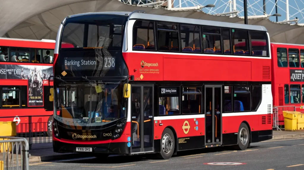
Buses
Buses provide more affordable but often slower routes, as they navigate city traffic. A typical bus journey from East London to the center can take 45 minutes to over an hour.
Cycling and Walking
For those living closer to Central London, cycling can be an efficient option, especially with London’s growing network of cycle lanes. Walking distances vary but can be feasible for parts of East London located near Tower Hamlets.

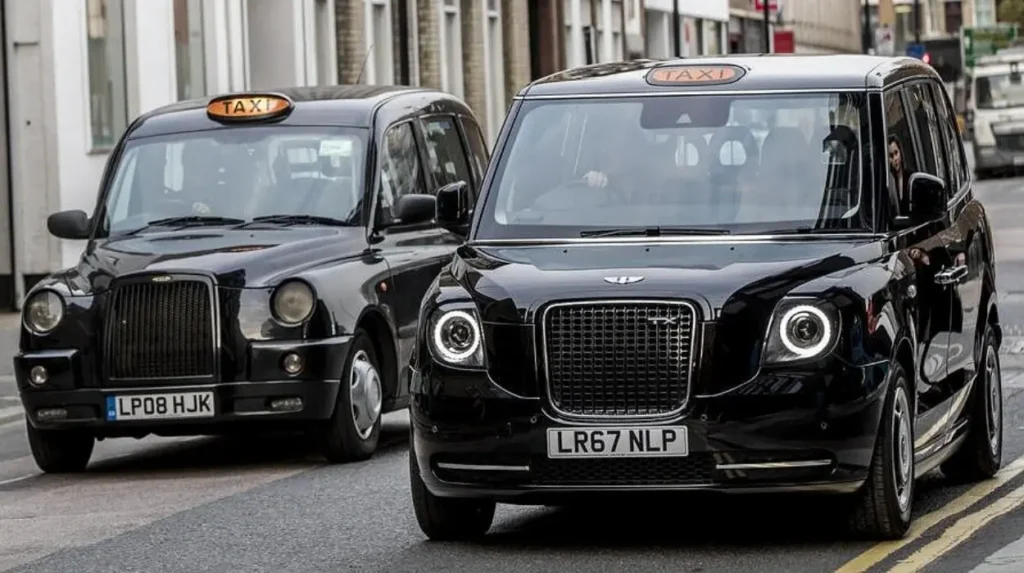
Driving and Taxi
By car or taxi, the journey distance is about 5-8 miles but travel time can vary significantly from 20 minutes (off-peak) to over an hour during rush hours due to congestion. Parking in Central London is limited and costly, so public transit remains the prevalent choice.
Historical Context of East London and Central London Separation
Historically, Central London developed as the seat of financial and political power, whereas East London grew as a working-class and industrial area. The River Thames and the old city walls naturally shaped the distinction between the City and its eastern suburbs.
The Docklands area of East London once housed one of the world’s largest ports but declined in the late 20th century, followed by massive regeneration projects including the creation of the Canary Wharf financial district. These changes have somewhat blurred the boundary between East and Central London but the distinction remains significant culturally and geographically.
Why Knowing the Distance Matters
Understanding the distance and travel time between East London and Central London helps with:
- Daily Planning: Commuters can decide on the best transport options and departure times.
- Real Estate Decisions: Proximity affects housing prices, rental markets, and lifestyle expectations.
- Tourism: Knowing the travel ease helps tourists plan visits to key attractions.
- Business Location Strategy: Distance influences office location, logistics, and customer access.
The distance between East London and Central London is generally between 5 and 8 miles, with travel times varying by mode and traffic. Thanks to excellent public transport links—tube, DLR, buses—residents and visitors enjoy relatively easy access between these areas. Historical and cultural distinctions shape the identity of East London and Central London but physical proximity means the divide is increasingly bridged by development and infrastructure.