Key Points
- Digital Accessibility Tool: Hackney Council has launched the ‘Hackney Nights’ interactive map, built by digital agency Igloo, to aid nighttime navigators.
- Essential Nighttime Amenities: The platform highlights verified locations for public toilets, free drinking water refill points, phone charging stations, and accessible venues.
- Live Transport Integration: Users can access live bus routes and cycling paths based on real-time geolocation to facilitate safe journeys home.
- Council Accreditation: Every venue listed on the map is accredited under the Hackney Nights scheme, having met specific standards for safety and inclusivity.
- Wider Licensing and Planning Reforms: The launch comes alongside broader council commitments to overhaul licensing, noise, and planning regulations over the next year, coupled with a new Cultural Strategy.
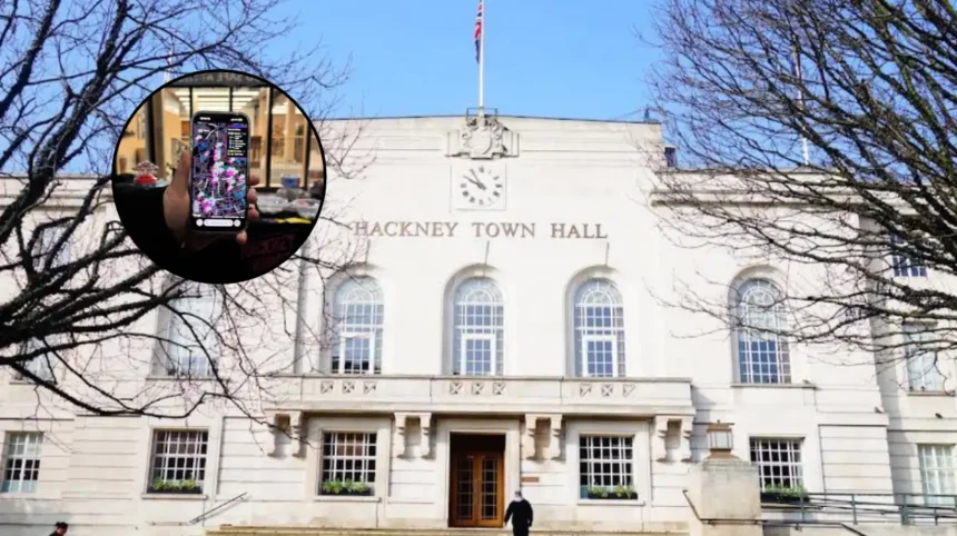
Hackney (East London Times) October 27, 2026 – Hackney Council has officially launched a specialized interactive digital map designed to help residents and visitors navigate the borough’s nightlife safely while accessing essential public facilities after dark.
- Key Points
- How Does the Map Fit Into Hackney’s Broader Nightlife Safety and Cultural Strategy?
- What Safety Measures Have Been Implemented Since 2019?
- What Policy Changes Are Expected Over the Coming Year?
- What Is the Background of the Hackney Night-Time Economy and Safeguarding Initiatives?
- What Are the Predictions for How This Development Will Affect Key Stakeholders?
Developed in collaboration with digital creator Igloo, the ‘Hackney Nights’ map provides real-time information on the location of open public toilets, free drinking water stations, venue phone charging hubs, and wheelchair-accessible nighttime establishments. Furthermore, the platform integrates live local transit data, allowing users to pinpoint nearby active bus routes and cycle paths relative to their current location to assist in planning safe journeys home.
The interactive service is accessible on mobile devices through QR codes distributed across the borough on venue window posters and promotional keyrings. Every commercial establishment, cultural space, and grassroots music venue featured on the map holds formal council accreditation through the Hackney Nights scheme, confirming adherence to safety, safeguarding, and inclusivity benchmarks established by the local authority.
As reported by local council communications staff, the initiative forms a key component of the local authority’s broader strategy to protect and maintain the borough’s night-time economy while enhancing public safety measures.
How Does the Map Fit Into Hackney’s Broader Nightlife Safety and Cultural Strategy?
What Safety Measures Have Been Implemented Since 2019?
The introduction of the digital map builds upon ongoing municipal efforts to regulate and support the local evening economy. Since the inception of the Hackney Nights initiative in 2019, the local authority has delivered venue safeguarding and public safety training to 4,400 nightlife industry workers across the borough.
What Policy Changes Are Expected Over the Coming Year?
Over the next twelve months, Hackney Council plans to implement structural changes to how its administrative departments manage licensing applications, urban planning, and noise complaints. These regulatory adjustments are scheduled to run alongside the development of a comprehensive new Cultural Strategy, which aims to protect social spaces, independent music venues, and late-night commercial districts.
As reported by press officers for Hackney Council, Cllr Sam Mathys, Cabinet Member for Culture, Leisure, Nightlife and Business Regulation, stated that “Hackney has the best nightlife in London, and it’s where so many people find their community.”
Cllr Sam Mathys further added that “This map will support all those who enjoy our nightlife and our upcoming policy work will ensure these spaces can thrive.”
What Is the Background of the Hackney Night-Time Economy and Safeguarding Initiatives?
Hackney’s nighttime economy, encompassing hubs such as Shoreditch, Dalston, and Hackney Central, represents one of the most prominent cultural and hospitality sectors in Greater London. Over the past two decades, the area has seen rapid expansion in its concentration of late-night bars, pubs, grassroots music venues, and cultural hubs.
However, the expansion of the evening economy has historically presented local authorities and the Metropolitan Police Service with operational challenges regarding venue safety, noise management, street sanitation, and public transport availability during late hours. In response to public safety concerns and the vulnerability of night-time patrons, Hackney Council launched the ‘Hackney Nights’ initiative in 2019.
The umbrella campaign was established to create a standardized framework for venue regulation, staff safeguarding training, and multi-agency coordination between venue operators, security personnel, and local enforcement officers. The introduction of accredited standards aimed to ensure that commercial operators actively contribute to reducing harm, preventing crime, and supporting vulnerable patrons within late-night premises.
What Are the Predictions for How This Development Will Affect Key Stakeholders?
How Will This Affect Nighttime Visitors and Local Residents?
For patrons, students, and visitors navigating the borough after dark, the interactive map offers immediate practical utility by centralizing essential services—such as phone charging and public toilets—that are often difficult to locate late at night. Access to live transport links and verified venue details is expected to improve personal safety, particularly for individuals traveling alone or seeking safe spaces during emergency situations. For local residents, improved directional guidance toward public toilets and managed transport hubs may contribute to a reduction in street fouling and late-night residential noise disturbances.
How Will This Affect Local Hospitality Venues and Event Spaces?
For accredited business owners, bars, and grassroots venues, inclusion on the official council map provides increased visibility and footfall from visitors seeking vetted, safe spaces. However, upcoming regulatory overhauls in planning, licensing, and noise control over the coming year may introduce updated compliance standards and operational requirements for local business owners, requiring ongoing coordination between commercial operators and council regulatory teams.