Key Points
- Tower Hamlets sits on the north bank of the Thames in east London, bordered by Newham, Hackney, and the City of London.
- The borough spans the historic East End and regenerated London Docklands, with changing demographics due to high immigration levels and new skyscrapers.
- Key neighbourhoods include Bethnal Green, Bow, Mile End, Whitechapel, Stepney, Wapping, Shadwell, Spitalfields, Limehouse, Poplar, and the Isle of Dogs.
- Notable places include Victoria Park, Tower of London, Brick Lane, Spitalfields, Mile End Park, Young V&A, London Museum Docklands, St Katharine Docks, Wilton’s Music Hall, Whitechapel Gallery, and part of Queen Elizabeth Olympic Park.
- It is the youngest borough in the UK with a median age of 30 and the most densely populated in England.
- Population stands at 331,886 as of the 2024 estimate from the Office for National Statistics (ONS).
- Demographics from the 2021 census show 44% Asian, 39% White, 7% Black, 5% mixed race, and 2% another ethnic group.
- 21.5% of residents are under 20 years old, and 45.1% are aged 20 to 39.
- Average property price was £464,000 in December 2025, per ONS data.
- Average monthly rent was £2,389 in February 2026, according to ONS.
- Band D council tax for 2026/27 is £1,837.78.
- Transport includes nine Tube stations: Aldgate East, Bethnal Green, Bow Road, Bromley-by-Bow, Canary Wharf, Mile End, Stepney Green, Tower Hill, and Whitechapel, as listed by Transport for London (TfL).
- Additional rail, Overground, and DLR stations: Limehouse, Langdon Park, Poplar, Wapping, All Saints, and Westferry.
- Historical origin: Named in the 16th century for hamlets east of the Tower of London, whose residents defended it; known for East End character and waves of migrants including Huguenots, Irish, Jews, and Bangladeshis around Brick Lane.
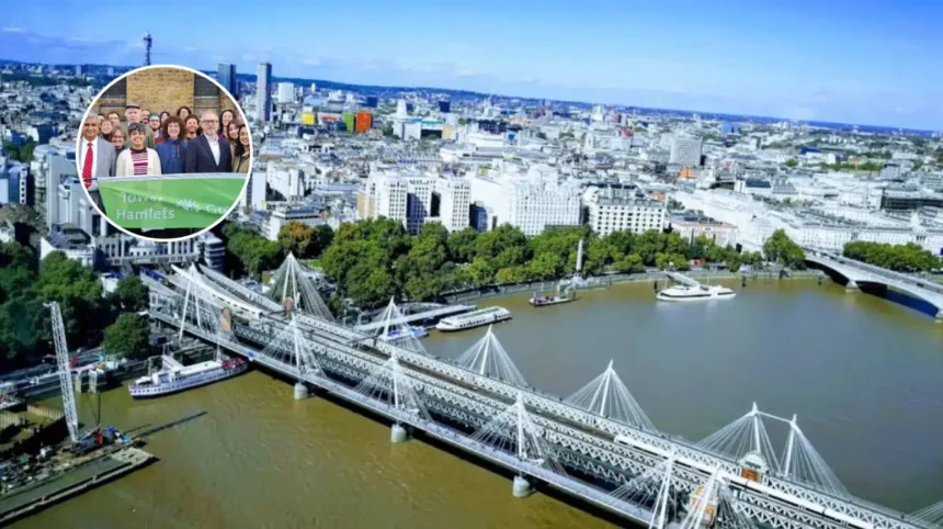
Tower Hamlets (East London Times) – April 15, 2026 –Tower Hamlets, the London Borough of Tower Hamlets, occupies a prime position on the north bank of the Thames in east London, bordered by Newham to the east, Hackney to the north, and the City of London to the west. This guide, produced ahead of the local elections on Thursday, May 7, covers the borough’s geography, demographics, economy, transport, and history, drawing from official sources including the Office for National Statistics (ONS) and Tower Hamlets Council data. As reported in the 2024 ONS population estimate, the borough has 331,886 residents, reflecting its status as England’s most densely populated area.
- Key Points
- Where exactly is Tower Hamlets located and what are its key neighbourhoods?
- How has the housing market evolved in Tower Hamlets?
- What transport options serve Tower Hamlets residents and voters?
- What is the historical background of Tower Hamlets?
- How did the East End develop through industry and migration?
- Background of the Local Elections Profile Development
- Prediction: How will Tower Hamlets’ profile affect local voters?
The borough blends the historic East End with the modern Docklands, marked by rapid demographic shifts from immigration and a skyline transformed by skyscrapers. According to the 2021 census visualised by ONS, 44% of residents identify as Asian, 39% as White, 7% as Black, 5% as mixed race, and 2% as another ethnic group. Tower Hamlets holds the distinction of being the youngest borough in the UK, with a median age of 30; 21.5% of the population is under 20, and 45.1% falls between 20 and 39 years old, per the council’s Joint Strategic Needs Assessment (JSNA).
Where exactly is Tower Hamlets located and what are its key neighbourhoods?
Tower Hamlets stretches across the traditional East End and redeveloped Docklands, encompassing neighbourhoods such as Bethnal Green, Bow, Mile End, Whitechapel, Stepney, Wapping, Shadwell, Spitalfields, Limehouse, Poplar, and the Isle of Dogs.
These areas mix residential zones, commercial hubs, and cultural sites. Places of interest abound, including Victoria Park, the Tower of London, Brick Lane, Spitalfields Market, Mile End Park, Young V&A, London Museum Docklands, St Katharine Docks, Wilton’s Music Hall, Whitechapel Gallery, and the portion of Queen Elizabeth Olympic Park within the borough.
The borough’s density and youth profile shape daily life, with ONS data confirming it as England’s most crowded local authority.
A pub quiz fact highlights its unique demographics: at median age 30, it outpaces all UK boroughs in youthfulness.
How has the housing market evolved in Tower Hamlets?
Housing costs reflect the borough’s desirability amid regeneration. The ONS reports the average residential property price in Tower Hamlets reached £464,000 in December 2025. Rental prices followed suit, with average monthly rent at £2,389 in February 2026, also per ONS figures.
These trends underscore pressures on affordability in a borough balancing historic communities with new developments.
Council tax for Band D properties in 2026/27 stands at £1,837.78, funding local services amid these economic dynamics.
What transport options serve Tower Hamlets residents and voters?
Connectivity bolsters Tower Hamlets’ appeal. Transport for London (TfL) lists nine Tube stations: Aldgate East, Bethnal Green, Bow Road, Bromley-by-Bow, Canary Wharf, Mile End, Stepney Green, Tower Hill, and Whitechapel. Rail, Overground, and Docklands Light Railway (DLR) options include Limehouse, Langdon Park, Poplar, Wapping, All Saints, and Westferry, enhancing access across east London.
These networks support the borough’s dense population, facilitating commutes to central London and beyond.
What is the historical background of Tower Hamlets?
The name Tower Hamlets dates to the 16th century, referring to hamlets east of the Tower of London where residents were obligated to defend the fortress. This origin ties the borough to London’s medieval defences.
How did the East End develop through industry and migration?
Historically rooted in the East End, Tower Hamlets saw dense population growth in the 18th and 19th centuries, driven by London docks, textiles, and manufacturing. Areas like Whitechapel and Stepney housed workers amid industrial expansion.
Successive migrant waves defined the area: Huguenots fleeing persecution, followed by Irish, Jewish, and later Bangladeshi communities, particularly around Brick Lane.
As noted in historical accounts, Brick Lane’s mosque evolved from church to synagogue to mosque, mirroring these shifts.
By the 19th century, rapid building accommodated immigrants and displaced poor from central London clearances. The East End absorbed populations from dock-related booms post-1827 St Katharine Docks and railway termini between 1840 and 1875.
Slum clearances began by 1890, including the LCC Boundary Estate, though wartime and post-war rebuilding with flats followed. Blitz damage in World War II destroyed over a third of Stepney’s housing, leading to 1960s tower blocks.
Background of the Local Elections Profile Development
This profile forms part of a series of short guides to London’s 32 boroughs, published ahead of the local elections on May 7. Data draws directly from official sources: ONS for population (2024 estimate), census (2021), housing prices (December 2025), and rents (February 2026); Tower Hamlets Council JSNA for age breakdowns; and TfL for transport.
The guides aim to inform voters on each borough’s character, using verified statistics without additional interpretation. Historical context relies on established records of East End evolution, migrant patterns, and urban development.
Prediction: How will Tower Hamlets’ profile affect local voters?
Tower Hamlets’ young, diverse population of 331,886, with 44% Asian and median age 30, may prioritise policies on housing affordability, given £464,000 average prices and £2,389 rents, alongside dense living and transport access. High immigration history and neighbourhoods like Brick Lane could influence focus on community integration and economic regeneration in Docklands.
Voters in areas such as Bethnal Green or Poplar might weigh council tax at £1,837.78 Band D against services, while youth demographics shape demands for parks like Victoria Park and cultural sites. Dense transport networks could affect mobility-related issues, and historical migrant waves may highlight continuity in addressing ethnic diversity (39% White, 7% Black). Election outcomes on May 7 could reflect these factors in service allocation for the borough’s 21.5% under-20s and working-age majority.